Antonio Ante (canton)
| Canton d'Antonio Ante | ||

| ||
 Monument à Antonio Ante dans le parc central "Antonio José de Sucre", Atuntaqui (province d'Imbabura) | ||
| Administration | ||
|---|---|---|
| Pays | ||
| Province | ||
| Démographie | ||
| Population | 43 518 hab. (2010) | |
| Densité | 551 hab./km2 | |
| Langue(s) | Espagnol | |
| Géographie | ||
| Coordonnées | 0° 19′ 12″ nord, 78° 12′ 36″ ouest | |
| Superficie | 7 900 ha = 79 km2 | |
| Localisation | ||
.svg.png) Carte du canton | ||
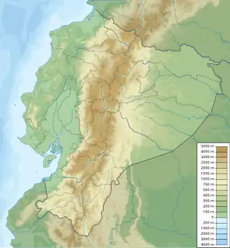
| Géolocalisation sur la carte : Équateur
| ||
Antonio Ante est un canton d'Équateur situé dans la province d'Imbabura.
Toponymie
Histoire
Géographie
Géographie physique
Découpage administratif
Climat
Démographie
Politique
Économie
Références
 Portail de l’Équateur