Birling (Kent)
Birling

Église de la Toussaint.
| Pays | |
|---|---|
| Région | |
| Comté cérémonial | |
| Comté non métropolitain |
Kent (d) |
| District non métropolitain | |
| Superficie |
6,8 km2 |
| Coordonnées |
51° 19′ 08″ N, 0° 24′ 34″ E |
| Population |
464 hab. () |
|---|---|
| Densité |
68,2 hab./km2 () |
| Statut |
|---|
| Code postal |
ME19 5 |
|---|
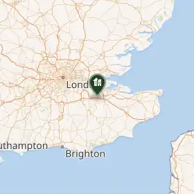
Birling est une localité du Kent, au Royaume-Uni.
Notes et références
- Ressource relative à la géographie :
 Portail de l’Angleterre