Cífer
| Cífer | |||||
 Héraldique |
 Drapeau |
||||
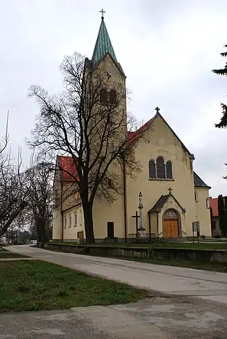 Église Saint-Michel-Archange | |||||
| Administration | |||||
|---|---|---|---|---|---|
| Pays | |||||
| Région | Trnava | ||||
| District | Trnava | ||||
| Statut | Village | ||||
| Starosta (maire) Mandat |
Maroš Sagan (Indépendant) mandat : 2018-2022 |
||||
| Code postal | 919 43 | ||||
| Plaque minéralogique |
TT | ||||
| Code LAU 2 | SK0217506877 | ||||
| Démographie | |||||
| Population | 4 886 hab. (31 déc. 2024[1]) | ||||
| Densité | 164 hab./km2 | ||||
| Géographie | |||||
| Coordonnées | 48° 18′ 58″ nord, 17° 29′ 23″ est | ||||
| Altitude | 149 m |
||||
| Superficie | 2 988,146 ha = 29,881 460 km2 | ||||
| Localisation | |||||
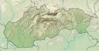
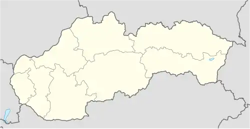
| Géolocalisation sur la carte : Slovaquie
Géolocalisation sur la carte : Slovaquie
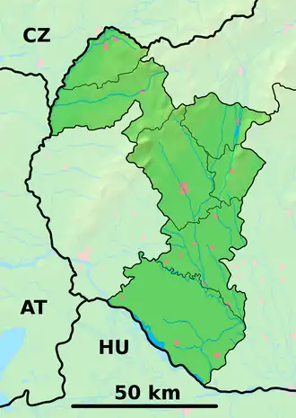
Géolocalisation sur la carte : région de Trnava
Géolocalisation sur la carte : région de Trnava
| |||||
| Liens | |||||
| Site web | https://www.cifer.sk | ||||
| Sources | |||||
| « Résultat des élections » | |||||
| « Statistique de population » | |||||
| https://www.e-obce.sk [2] | |||||
| https://www.statistics.sk [3] https://www.slovakregion.sk/ [4] |
|||||

Cífer (en allemand : Ziffer ; en hongrois : Czífer)[5] est un village de Slovaquie situé dans la région de Trnava.
Histoire
Première mention écrite du village en 1291.
Notes et références
- ↑ (sk) « Počet obyvateľov podľa pohlavia - obce (ročne) [om7101rr_obce=AREAS_SK] », Statistical Office of the Slovak Republic, (consulté le )
- ↑ e-obce.sk
- ↑ Mestská a obecná štatistika SR
- ↑ region
- ↑ « Slovenské slovníky », sur savba.sk (consulté le ).
Voir aussi
 Portail de la Slovaquie