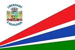
Cajati
| Cajati | ||||
| ||||
| Administration | ||||
|---|---|---|---|---|
| Pays | ||||
| Région | Microrégion de Registro | |||
| État | ||||
| Maire | Luiz Henrique Koga | |||
| Fuseau horaire | UTC-3 | |||
| Démographie | ||||
| Gentilé | cajatiense | |||
| Population | 28 371 hab.[1] (2010) | |||
| Densité | 62 hab./km2 | |||
| Géographie | ||||
| Coordonnées | 24° 44′ 09″ sud, 48° 07′ 22″ ouest | |||
| Altitude | 75 m |
|||
| Superficie | 45 492,5 ha = 454,925 km2 | |||
| Divers | ||||
| Date de fondation | 1930 | |||
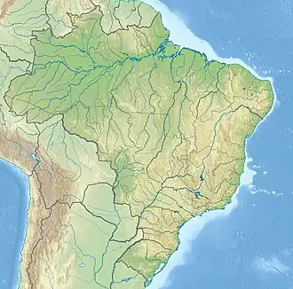
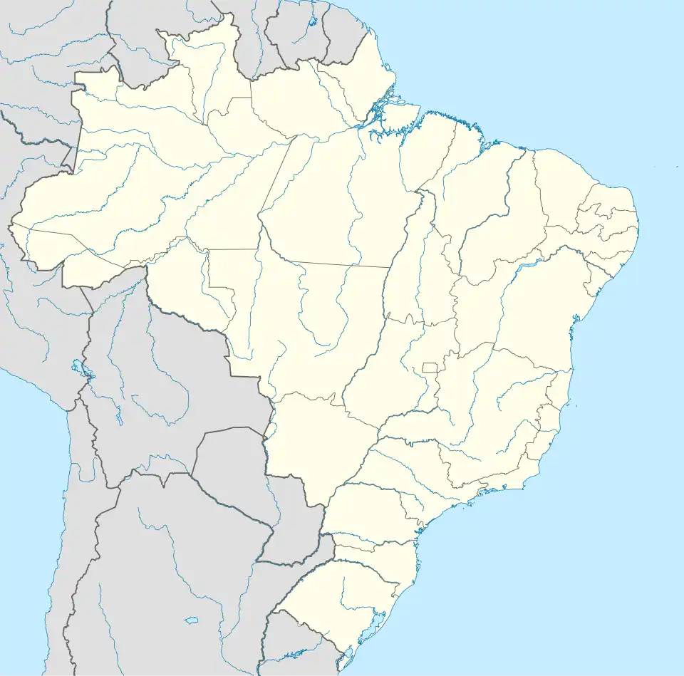
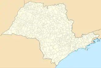
| Localisation | ||||
| Géolocalisation sur la carte : Brésil
Géolocalisation sur la carte : Brésil
Géolocalisation sur la carte : État de São Paulo
| ||||
| Liens | ||||
| Site web | http://www.cajati.sp.gov.br/ | |||
Cajati est une municipalité brésilienne de l'État de São Paulo et de la Microrégion de Registro.
Démographie
| ||||||||||||||||||||||||
Notes et références
- ↑ IBGE
- ↑ (pt-BR) « Censos Demográficos (1991-2022) | IBGE », sur www.ibge.gov.br
- ↑ (pt-BR) « Censos Demográficos (1872-1980) | IBGE », sur biblioteca.ibge.gov.br
- ↑ (pt-BR) « Biblioteca Digital Seade | Fundação Seade », sur bibliotecadigital.seade.gov.br
Voir aussi
Articles connexes
 Portail de l'État de São Paulo