Clay Township (comté de Clay, Iowa)
| Clay Township | ||||
| Administration | ||||
|---|---|---|---|---|
| Pays | ||||
| État | ||||
| Comté | Comté de Clay | |||
| Démographie | ||||
| Population | 696 hab. (2000) | |||
| Densité | 7,4 hab./km2 | |||
| Géographie | ||||
| Coordonnées | 43° 02′ 27″ nord, 95° 19′ 39″ ouest | |||
| Superficie | 9 415 ha = 94,15 km2 | |||
| · dont terre | 94,15 km2 (100 %) | |||
| · dont eau | 0 km2 (0 %) | |||
| Fuseau horaire | CST (UTC-6) | |||
| Localisation | ||||
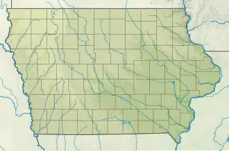
 Carte du comté de Comté de Clay. | ||||
| Géolocalisation sur la carte : États-Unis
Géolocalisation sur la carte : États-Unis
Géolocalisation sur la carte : Iowa
| ||||
_relief_location_map.png)
_location_map.svg.png)
Clay Township est un township du comté de Clay, situé en Iowa, États-Unis. La population était de 696 habitants lors du recensement de 2000.
Géographie
Clay Township couvre 94,15 km² du comté de Clay et comporte une ville, Royal.
Selon l'USGS, le township contient 3 cimetières : Center, TriMello et Willow Creek.
Transport
Ce township comporte une piste d'atterrissage, Royal Airport.
Liens externes
- Ressource relative à la géographie :
 Portail de l’Iowa