District d'Amreli
| District d'Amreli અમરેલી જિલ્લો | ||
| Administration | ||
|---|---|---|
| Pays | ||
| État | Gujarat | |
| Chef-lieu | Amreli | |
| Fuseau horaire | IST (UTC+5:30) | |
| Démographie | ||
| Population | 1 514 190 hab. (2011[1]) | |
| Densité | 205 hab./km2 | |
| Géographie | ||
| Coordonnées | 20° 52′ 00″ nord, 70° 45′ 00″ est | |
| Superficie | 739 700 ha = 7 397 km2 | |
| Localisation | ||
.svg.png)
| ||
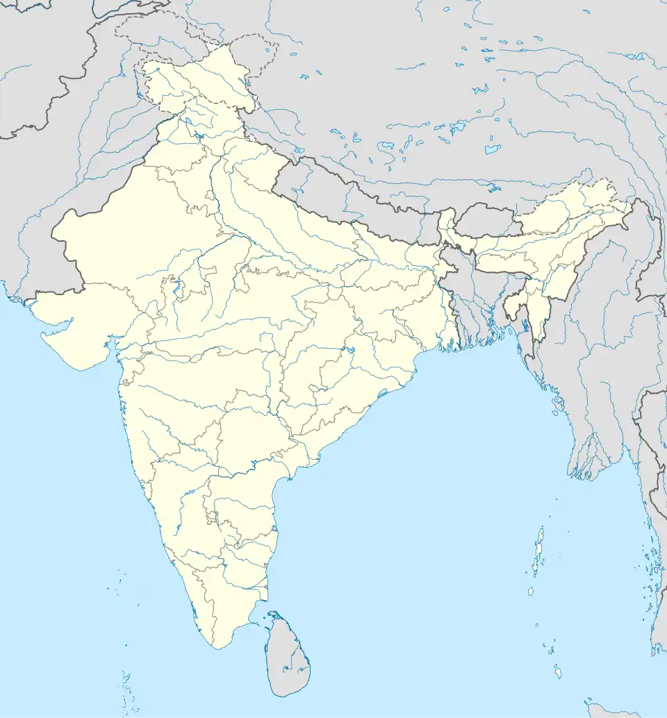
| Géolocalisation sur la carte : Inde
| ||
| Liens | ||
| Site web | amreli.nic.in | |
Le district d'Amreli (gujarati : અમરેલી જિલ્લો) est un district de l'état du Gujarat en Inde.
Géographie
Le district a une population de 1 514 190[1] habitants pour une superficie de 7 397 km2[1].
Liens externes
Liens internes
Références
- 1 2 3 (en) « Amreli District : Census 2011 data », census2011.co.in (consulté le )
 Portail de l’Inde