District de Chamba
| District de Chamba चंबा जिला | ||
| Administration | ||
|---|---|---|
| Pays | ||
| État | Himachal Pradesh | |
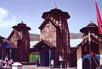
| Chef-lieu | Chamba | |
| Fuseau horaire | IST (UTC+5:30) | |
| Démographie | ||
| Population | 519 080 hab. (2011[1]) | |
| Densité | 80 hab./km2 | |
| Géographie | ||
| Coordonnées | 32° 33′ 16″ nord, 76° 07′ 26″ est | |
| Superficie | 652 200 ha = 6 522 km2 | |
| Localisation | ||
.svg.png)
| ||
| Géolocalisation sur la carte : Inde
| ||
| Liens | ||
| Site web | http://hpchamba.nic.in/ | |
Le district de Chamba (hindi : चंबा जिला) est un district de l'état de l'Himachal Pradesh en Inde.
Géographie
Sa population de 519 080 habitants (en 2011)[1] pour une superficie de 6 522 km2[1].
Références
- 1 2 3 (en) « Chamba District : Census 2011 data », census2011.co.in (consulté le )
Article connexe
Liens externes
 Portail de l’Inde