District de Ghaziabad
| District de Ghaziabad ग़ाज़ियाबाद ज़िला | ||
| Administration | ||
|---|---|---|
| Pays | ||
| État | Uttar Pradesh | |
| Chef-lieu | Ghaziabad | |
| Fuseau horaire | IST (UTC+5:30) | |
| Démographie | ||
| Population | 4 681 645 hab. (2011[1]) | |
| Densité | 3 971 hab./km2 | |
| Géographie | ||
| Coordonnées | 28° 40′ 00″ nord, 77° 26′ 00″ est | |
| Superficie | 117 900 ha = 1 179 km2 | |
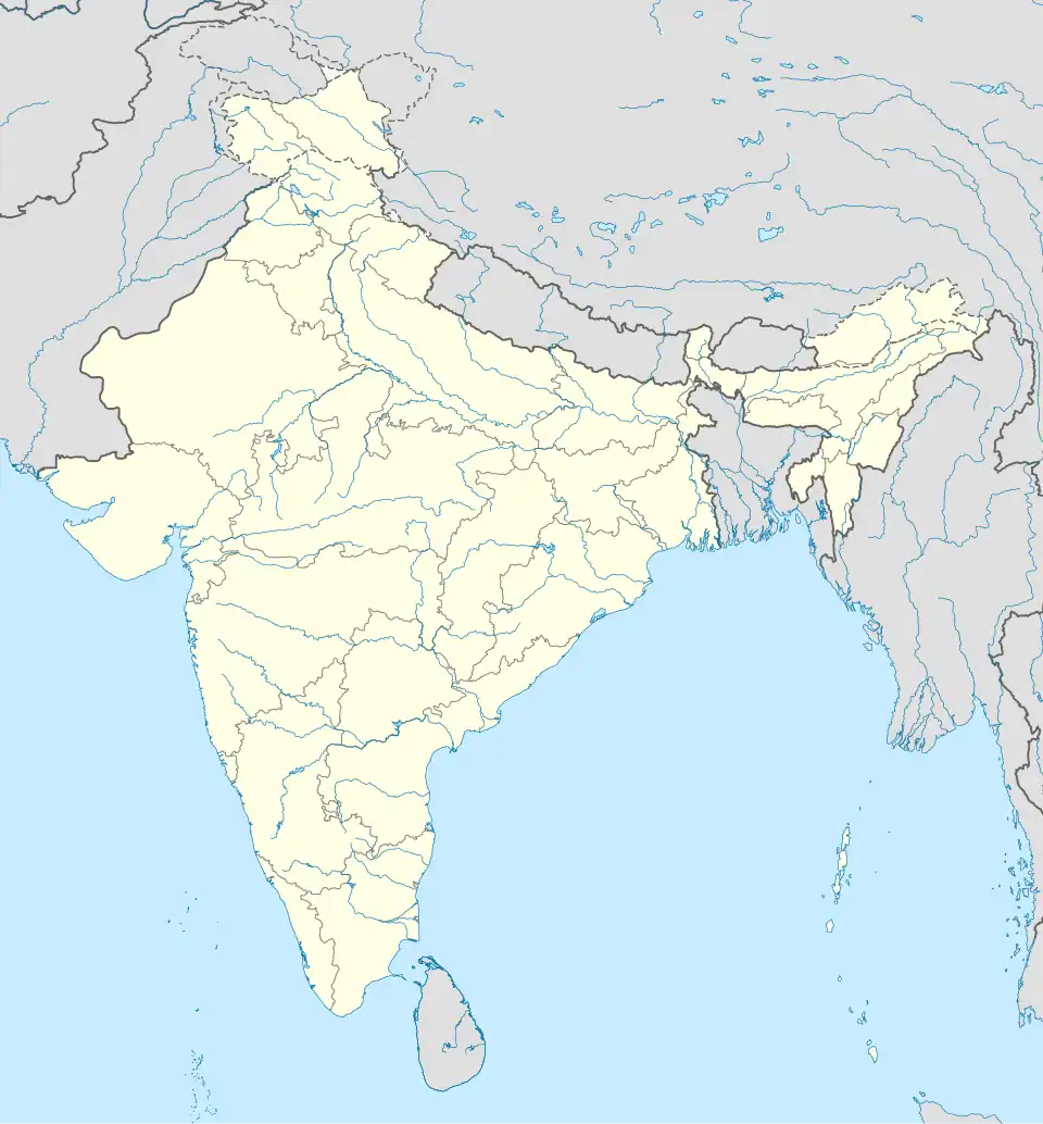
| Localisation | ||

| ||
| Géolocalisation sur la carte : Inde
| ||
| Liens | ||
| Site web | http://ghaziabad.nic.in/ | |
Le district de Ghaziabad (en hindi : ग़ाज़ियाबाद ज़िला) est une division administrative de la division de Meerut dans l'État de l'Uttar Pradesh, en Inde.
Géographie
Le centre administratif du district est Ghaziabad. La superficie du district est de 1 179 km2[1] et la population était en 2011 de 4 681 645 habitants[1].
Le taux d'alphabétisation est de 85 %[2].
Histoire
Liens externes
Liens internes
Références
- 1 2 3 (en) « Districts of Uttar Pradesh », Recensement 2011, Gouvernement de l'Inde (consulté le )
- ↑ (en) « District-specific Literates and Literacy Rates, 2001 », Registrar General, India, Ministry of Home Affairs (consulté le )
 Portail de l’Inde