District de Panchkula
| District de Panchkula पंचकुला़ जिला | ||
| Administration | ||
|---|---|---|
| Pays | ||
| État | Haryana | |
| Chef-lieu | Panchkula | |
| Fuseau horaire | IST (UTC+5:30) | |
| Démographie | ||
| Population | 561 293 hab. (2011[1]) | |
| Densité | 688 hab./km2 | |
| Géographie | ||
| Coordonnées | 30° 41′ nord, 76° 52′ est | |
| Superficie | 81 600 ha = 816 km2 | |
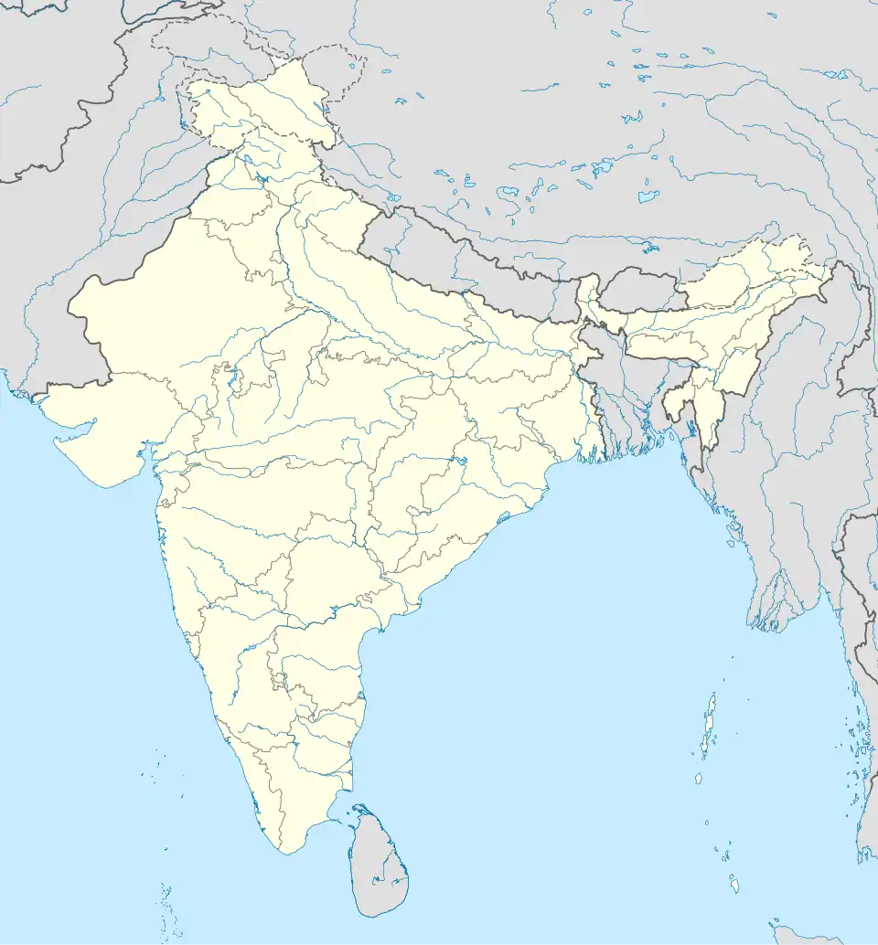
| Localisation | ||

| ||
| Géolocalisation sur la carte : Inde
| ||
| Liens | ||
| Site web | http://panchkula.nic.in/ | |
Le district de Panchkula (hindi : पंचकुला़ जिला) est un district de l'état de l'Haryana en Inde.
Description
Au recensement de 2011, sa population compte 561 293 habitants[1] pour une superficie de 898 km2[1]. Son chef-lieu est la ville de Panchkula.
Liens externes
Liens internes
Références
- 1 2 3 (en) « Panchkula District : Census 2011 data », census2011.co.in (consulté le )
 Portail de l’Inde