Guaranda (Sucre)
| Guaranda | ||

| ||
 Blason |
.svg.png) Drapeau |
|
| Administration | ||
|---|---|---|
| Pays | ||
| Département | ||
| Alcalde | Heriberto Arce Benitez | |
| Code DANE | 70265 | |
| Démographie | ||
| Gentilé | guarandero(a) | |
| Population | 15 080 hab. (2005[1]) | |
| Densité | 40 hab./km2 | |
| Géographie | ||
| Coordonnées | 8° 28′ 11″ nord, 75° 32′ 18″ ouest | |
| Superficie | 37 340 ha = 373,4 km2 | |
| Localisation | ||
 Carte de Guaranda | ||
| Géolocalisation sur la carte : Colombie
| ||
| Liens | ||
| Site web | http://guaranda-sucre.gov.co | |
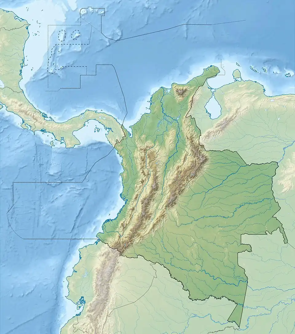
Guaranda est une municipalité de Colombie, située dans le département de Sucre.
Références
- ↑ (es) Censo 2005 — Guaranda[PDF], DANE
 Portail de la Colombie