Hohenweiler
| Hohenweiler | ||||
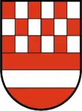 Héraldique |
||||
| ||||
| Administration | ||||
|---|---|---|---|---|
| Pays | ||||
| Land | ||||
| District (Bezirk) |
Brégence | |||
| Code postal | A- | |||
| Indicatif | 43+ | |||
| Démographie | ||||
| Population | 1 271 hab. ([1]) | |||
| Densité | 150 hab./km2 | |||
| Géographie | ||||
| Coordonnées | 47° 35′ 18″ nord, 9° 46′ 53″ est | |||
| Altitude | 503 m |
|||
| Superficie | 845 ha = 8,45 km2 | |||
| Localisation | ||||
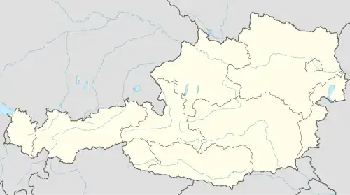
| Géolocalisation sur la carte : Autriche
Géolocalisation sur la carte : Autriche
Géolocalisation sur la carte : Vorarlberg
| ||||


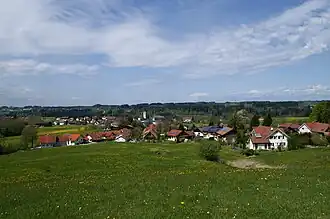
Hohenweiler est une commune autrichienne du district de Brégence dans le Vorarlberg.
Géographie
Histoire
La ville est conquise le par une patrouille du "Combat Command" C.C.4 de la 5e division blindée (France) de la 1re armée française. C'est la première incursion d'une unité française sur le territoire autrichien.
Liens externes
- (de) Site officiel
- Ressource relative à la géographie :
 Portail de l'Autriche
- ↑ « Einwohnerzahl 1.1.2018 nach Gemeinden mit Status, Gebietsstand 1.1.2018 », Statistik Austria (en) (consulté le )