Novi Bilokorovytchi
| Novi Bilokorovytchi (uk) Нові Білокоровичі | ||||
| Administration | ||||
|---|---|---|---|---|
| Pays | ||||
| Oblast | ||||
| Raïon | ||||
| Code postal | 11050 | |||
| Indicatif tél. | +380 4135 | |||
| Démographie | ||||
| Population | 3 034 hab. (2011) | |||
| Densité | 948 hab./km2 | |||
| Géographie | ||||
| Coordonnées | 51° 06′ 50″ nord, 28° 03′ 07″ est | |||
| Superficie | 320 ha = 3,2 km2 | |||
| Divers | ||||
| Fondation | 1901 | |||
| Statut | commune urbaine depuis 1961 | |||
| Localisation | ||||
| Géolocalisation sur la carte : Ukraine
Géolocalisation sur la carte : Ukraine
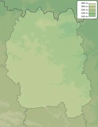
Géolocalisation sur la carte : oblast de Jytomyr
| ||||
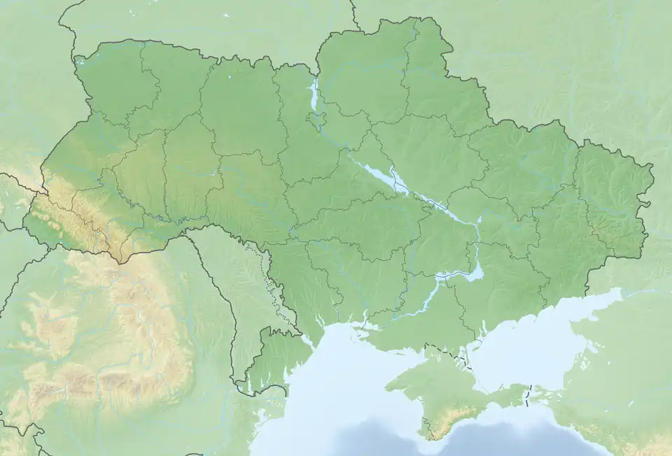
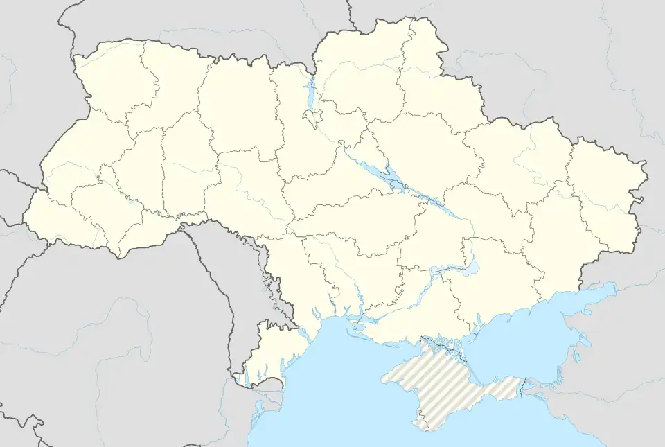
Novi Bilokorovytchi (en ukrainien : Нові Білокоровичі) ou Novye Belokorovitchi (en russe : Новые Белокоровичи) est une commune urbaine de l'oblast de Jytomyr, en Ukraine. Sa population s'élevait à 3 034 habitants en 2011.
Géographie
Novi Bilokorovytchi se trouve à 102 km au nord-ouest de Jytomyr et à 193 km au nord-ouest de Kiev.
Histoire
Novi Bilokorovytchi a été fondée en 1901 et a le statut de commune urbaine depuis 1973.
Population
Recensements(*) ou estimations de la population[1] :
Transports
Novi Bilokorovytchi est un carrefour ferroviaire situé à 127 km de Jytomyr par le chemin de fer et à 145 km de Jytomyr par la route.
Notes et références
- ↑ (ru) Recensements de 1970 et 1979 sur www.webgeo.ru — (uk) Office des statistiques d'Ukraine : Статистичний збірник «Чисельність наявного населення України на 1 січня 2008 року» [Manuel statistique « Nombre d'habitants de l'Ukraine au 1er janvier 2008 »]. ; Статистичний збірник «Чисельність наявного населення України на 1 січня 2010 року» [Manuel statistique « Nombre d'habitants de l'Ukraine au 1er janvier 2010 »]. ; Статистичний збірник «Чисельність наявного населення України на 1 січня 2011 року» [Manuel statistique « Nombre d'habitants de l'Ukraine au 1er janvier 2011 »].
Liens externes
- (uk) Informations officielles
- (ru) Cartes topographiques
- (ru) Carte routière
 Portail de l’Ukraine