Peñarrubia (Espagne)
| Peñarrubia | |
.svg.png) Héraldique |
|
 Le hameau de Cicera. | |
| Administration | |
|---|---|
| Pays | |
| Communauté autonome | |
| Province | |
| Comarque | Saja-Nansa |
| Maire | Secundino Caso Roiz |
| Code postal | 39... |
| Démographie | |
| Population | 331 hab. () |
| Densité | 6,1 hab./km2 |
| Géographie | |
| Coordonnées | 43° 15′ 21″ nord, 4° 34′ 43″ ouest |
| Altitude | 500 m |
| Superficie | 5 428 ha = 54,28 km2 |
| Localisation | |
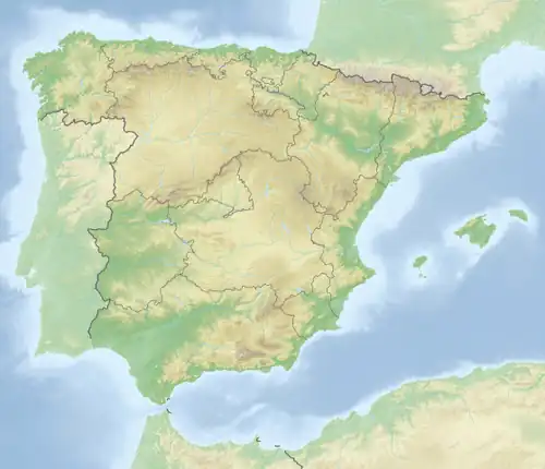
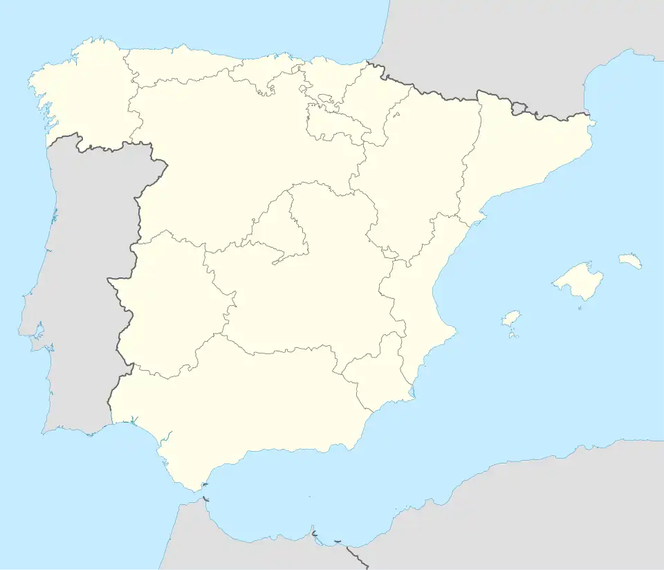

Peñarrubia est une commune espagnole située dans la communauté autonome de Cantabrie.
Géographie
Les 380 habitants (en 2006) de Peñarrubia se répartissent entre plusieurs hameaux :
- Caldas, 20 h ;
- Cicera, 69 h ;
- La Hermida, 94 h ;
- Linares (siège administratif), 76 h ;
- Navedo, 49 h ;
- Piñeres, 53 h ;
- Roza, 19 h ;
- Urdón, hameau abandonné.
Voir aussi
Articles connexes
Liens externes
Notes et références
 Portail de la Cantabrie