Pinukpuk
Pinukpuk

| Nom officiel |
(en) Municipality of Pinukpuk |
|---|
| Pays | |
|---|---|
| Région | |
| Province | |
| Superficie |
743,56 km2 |
| Altitude |
257 m |
| Coordonnées |
17° 34′ 23″ N, 121° 21′ 55″ E |

| Population |
34 275 hab. () |
|---|---|
| Densité |
46,1 hab./km2 () |
| Statut | |
|---|---|
| Dépenses |
129,2 M₱ () |
| Revenu fiscal |
349,2 M₱ () |
| Code postal |
3806 |
|---|---|
| Indicatif téléphonique |
74 |
| Site web |
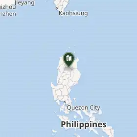
Pinukpuk est une municipalité de la province de Kalinga située au nord de l'île de Luçon, aux Philippines. Lors du recensement de 2020, sa population s'élève à 34 275 habitants.
Géographie
D'une superficie totale de 743,56 kilomètres carrés, elle est divisée administrativement en 23 barangays[1] :
- Aciga
- Allaguia
- Ammacian
- Apatan
- Asibanglan
- Ba-ay
- Ballayangon
- Bayao
- Camalog
- Cawagayan
- Dugpa
- Katabbogan
- Limos
- Magaogao
- Malagnat
- Mapaco
- Pakawit
- Pinococ
- Pinukpuk Junction -Center
- Socbot
- Taga (Poblacion)
- Taggay
- Wagud
Démographie
| 1918 | 1939 | 1948 | 1960 | 1970 | 1975 | 1980 | 1990 | 1995 | 2000 | 2007 | 2010 | 2015 | 2020 |
|---|---|---|---|---|---|---|---|---|---|---|---|---|---|
| 2397 | 4353 | 4612 | 7030 | 10470 | 11557 | 17362 | 20102 | 23057 | 26130 | 27783 | 29596 | 32026 | 34275 |
Notes et références
- ↑ (en) « Pinukpuk Province of Kalinga », sur philatlas.com.
- ↑ (en) « Province of Kalinga », sur Municipality Population Data.
Liens externes
 Portail des Philippines