St. Andrä im Lungau
| St. Andrä im Lungau | ||||
 Héraldique |
||||

| ||||
| Administration | ||||
|---|---|---|---|---|
| Pays | ||||
| Land | ||||
| District (Bezirk) |
Tamsweg | |||
| Maire | Heinrich Perner (ÖVP) | |||
| Code postal | A- | |||
| Indicatif | 43+ | |||
| Démographie | ||||
| Population | 761 hab. ([1]) | |||
| Densité | 72 hab./km2 | |||
| Géographie | ||||
| Coordonnées | 47° 08′ 56″ nord, 13° 47′ 49″ est | |||
| Altitude | 1 055 m |
|||
| Superficie | 1 050 ha = 10,5 km2 | |||
| Localisation | ||||
| Géolocalisation sur la carte : Autriche
Géolocalisation sur la carte : Autriche
Géolocalisation sur la carte : Land de Salzbourg
| ||||

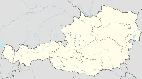

St. Andrä im Lungau est une commune autrichienne du district de Tamsweg dans l'État de Salzbourg.
Géographie
Histoire
Liens externes
 Portail de l'Autriche
- ↑ « Einwohnerzahl 1.1.2018 nach Gemeinden mit Status, Gebietsstand 1.1.2018 », Statistik Austria (en) (consulté le )