Somogyszob
| Somogyszob | |||
| |||
|
|||
| Administration | |||
|---|---|---|---|
| Pays | |||
| Comitat (vármegye) |
(Transdanubie méridionale) |
||
| District (járás) |
Nagyatád | ||
| Rang | Commune | ||
| Bourgmestre (polgármester) Mandat |
Eller János (indépendant) (2014-2019) |
||
| Code postal | 7563 | ||
| Indicatif téléphonique | (+36) 82 | ||
| Démographie | |||
| Population | 1 382 hab. () | ||
| Densité | 34 hab./km2 | ||
| Géographie | |||
| Coordonnées | 46° 17′ 34″ nord, 17° 17′ 45″ est | ||
| Superficie | 4 008 ha = 40,08 km2 | ||
| Divers | |||
| Collectivités des minorités | Tsiganes (1er janv. 2011) | ||
| Identités ethniques (nemzetiségi kötődés) |
Hongrois 95,5 %, Tsiganes 0,6 %, Croates 0,2 % (2001) | ||
| Religions | catholiques 71,5 %, réformés 14,3 %, évangéliques 1,8 %, autres confessions 0,2 %, sans religion 2,5 % (2001) | ||
| Liens | |||
| Site web | www.somogyszob.hu | ||
| Sources | |||
| Office central de statistiques (KSH) | |||
| Élections municipales 2014 | |||

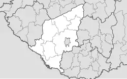
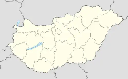
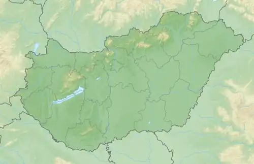
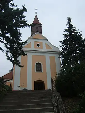
Somogyszob est un village et une commune du comitat de Somogy en Hongrie.
Géographie
Histoire
 Portail de la Hongrie