Tonawanda (CDP, New York)
Tonawanda

| Nom officiel |
(en) Tonawanda Town |
|---|
| Pays | |
|---|---|
| État | |
| Comté | |
| Superficie |
48,27 km2 () |
| Surface en eau |
7,17 % |
| Altitude |
175 m |
| Coordonnées |
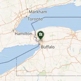
42° 59′ 07″ N, 78° 51′ 08″ O |
_highlighted.svg.png)
| Population |
57 431 hab. () |
|---|---|
| Densité |
1 189,8 hab./km2 () |
| Code FIPS |
36-75021 |
|---|---|
| GNIS |
Tonawanda est une census-designated place du comté d'Érié, dans l'État de New York, aux États-Unis[1],[2]. En 2020, elle compte une population de 57 431 habitants[3].
Notes et références
- (en) Cet article est partiellement ou en totalité issu de l’article de Wikipédia en anglais intitulé « Tonawanda (CDP), New York » (voir la liste des auteurs).
- ↑ (en) « Tonawanda (CDP, New York) », Geographic Names Information System
- ↑ (en) « Tonawanda, New York » [« Données sur Tonawanda, New York »], sur city-data.com (consulté le ).
- ↑ (en) « Tonawanda, New York », sur le site du Bureau du recensement des États-Unis (consulté le ).
Voir aussi
Liens externes
- Ressource relative à la géographie :
 Portail de l’État de New York