Township de Thandaunggyi
Township de Thandaunggyi

| Pays | |
|---|---|
| État | |
| District |
丹当基县 (d) |
| Superficie |
3 633 km2 |
| Coordonnées |
19° 04′ 00″ N, 96° 40′ 00″ E |
| Statut |
|---|
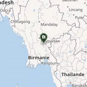
Le township de Thandaunggyi est un township du district de Pa-An, dans l’État Karen ou État de Kayin, en Birmanie.
Composition
Il comprend les villes de Thandaunggyi, Thandaung, Leiktho et Bawgali.
Histoire
Géographie
Notes et références
Liens externes
 Portail de la Birmanie